

PASSPORT
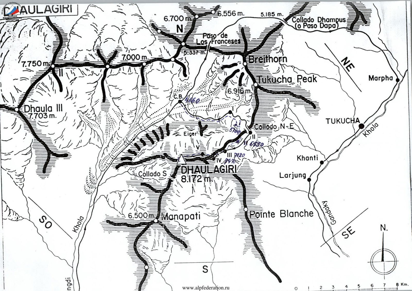
- Himalayas
- Dhaulagiri, via the Northeast ridge
- Proposed category of difficulty is 5B (for a group). Category 5A.
- Route type — combined
- Route elevation gain — 3510 m
Route length — 7100 m. Length of sections with category V difficulty — 1020 m. Average steepness of the main part of the route — 45°. Average steepness of the entire route — 37°.
- No pitons were used.
- Team's travel time: 69 hours, 6 days, plus 4 days for acclimatization.
- Team leader: Evgeny M. Vinogradsky, Master of Sports of International Class, Honored Master of Sports. Participant: Alexey V. Bolotov, Master of Sports.
- Coach: Sergey B. Efimov, Honored Coach of Russia.
Alexey V. Lebedikhin, Master of Sports of International Class. Departure to the route: 6:00, October 1, 2005.
Reached the summit: 14:00, October 6, 2005.
Returned to Base Camp: 13:00, October 8, 2005.

Photo 1. Overall view of the summit.
- 1 — route taken by the team from the Ministry of Physical Culture, Sports, and Tourism of the Sverdlovsk region government
- 2 — route taken by S. Efimov, 1993
Taken on October 30, 2005. Slope above Base Camp, 5000 m.
ROUTE SCHEME IN UIAA SYMBOLS
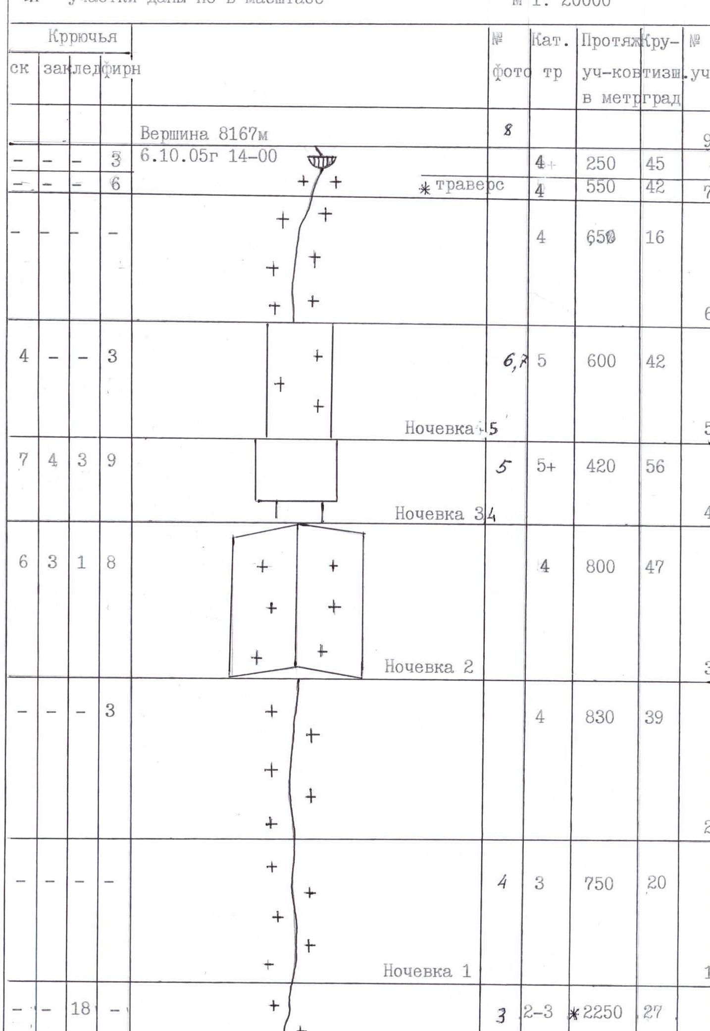


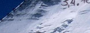
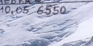


Photo 2. Technical photograph of the route
Taken on October 30, 2005. Slope above Base Camp, 5000 m.
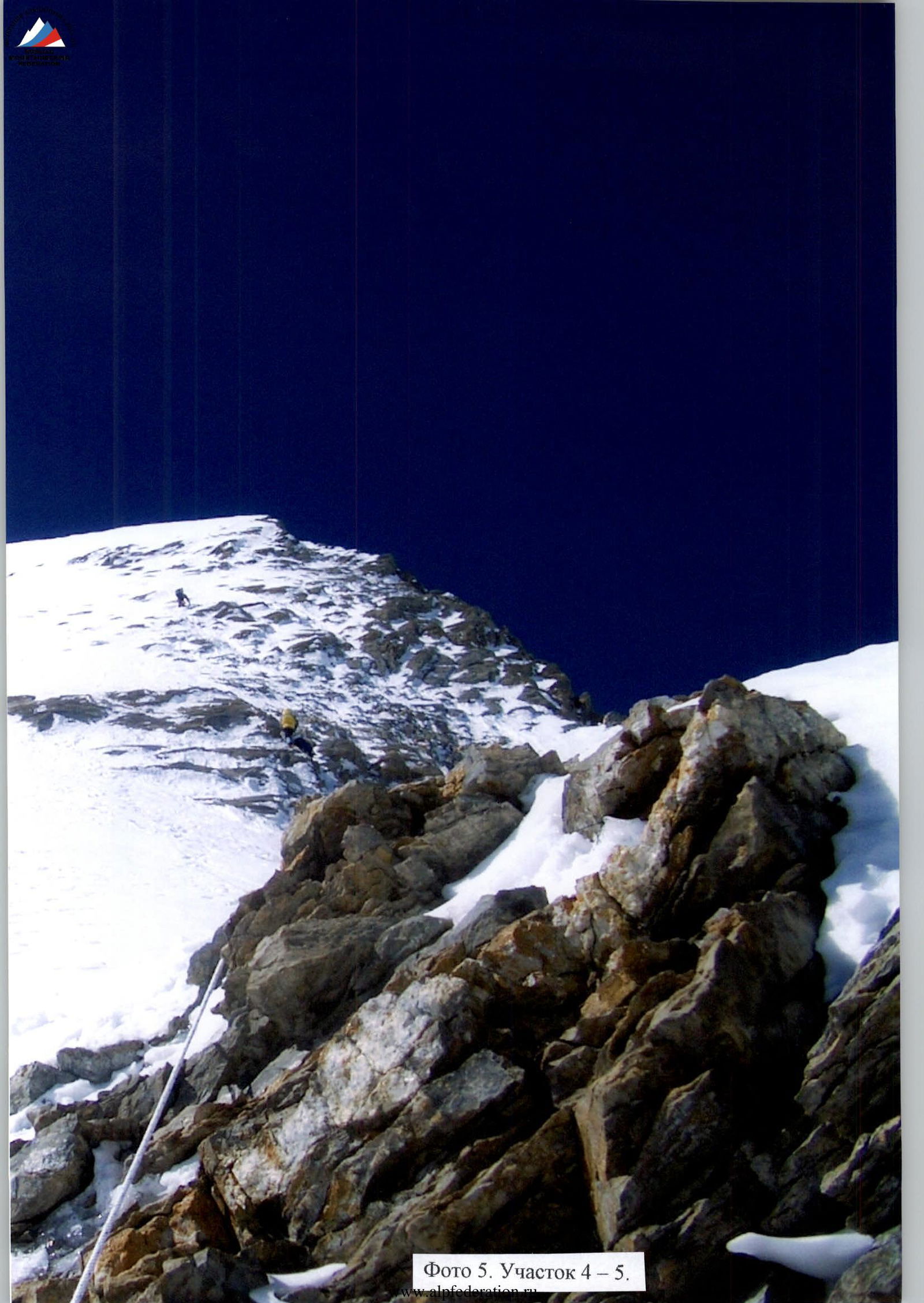
Photo 5. Section R4–R5