
Ascent Log
- Central Tian-Shan, Meridionalny Ridge, Bayankol valley, 7.17.06
- Peak Marmor Wall (6350 m) via the right western counterfort of the Northwest ridge.
- Category 5A, second ascent.
- Route type: combined.
- Route elevation gain: 2650 m
Route length: 4600 m
Length of Category V sections — 930 m.
Average slope
- Main part of the route 40° (4100 m – 6100 m)
- Entire route — 37° (3700 m – 6390 m)
- Pitons left on the route: Total: zero, Pitons placed:
| rock | chocks | ice | snow |
|---|---|---|---|
| 26 | 0 | 20 | 10 |
- Team's climbing hours: 27 h; days: 4.
- Leader: Korobkov Alexander Alexandrovich, Candidate Master of Sports
Participants:
- Belkov Andrey Igorevich, 1st sports category
- Mikhailov Alexander Alexandrovich, Master of Sports
- Popovich Vadim Vitalievich, Candidate Master of Sports
- Coach: Mikhailov Alexander Alexandrovich, Master of Sports, Honored Coach of Russia.
- Departure to the route: 9:00, July 17, 2000
Summit arrival: 14:00, July 20, 2000
Return to Base Camp: 17:00, July 21, 2000
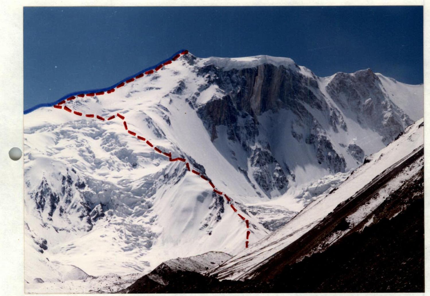
Photo 1. — Route taken by the team from Sverdlovsk Regional Sports Committee (Mikhailov), repeated by the team of B/F "Voshozhdenie".
- Route via NW ridge. July 10, 2000. Photo taken from the moraine of the glacier.
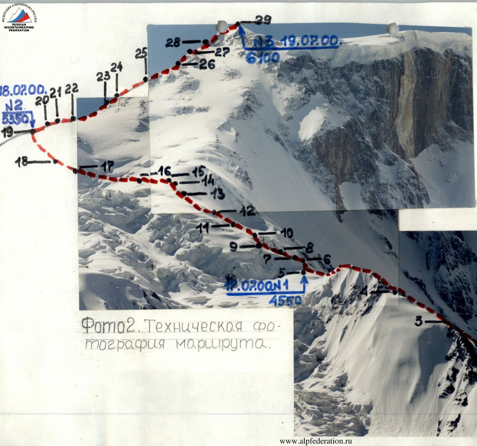
Photo 2. Technical photo of the route. www.alpfederation.ru
Note from the Summit. (Summit photos didn't turn out.)
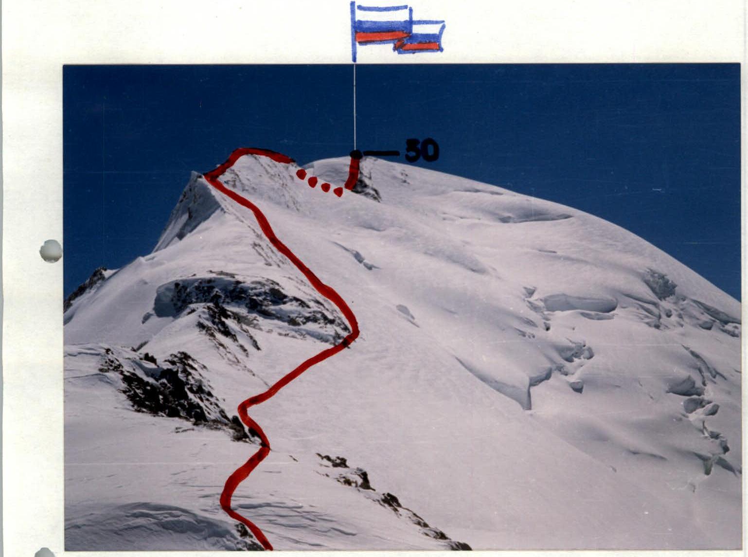
Photo 3. Section R29–R30
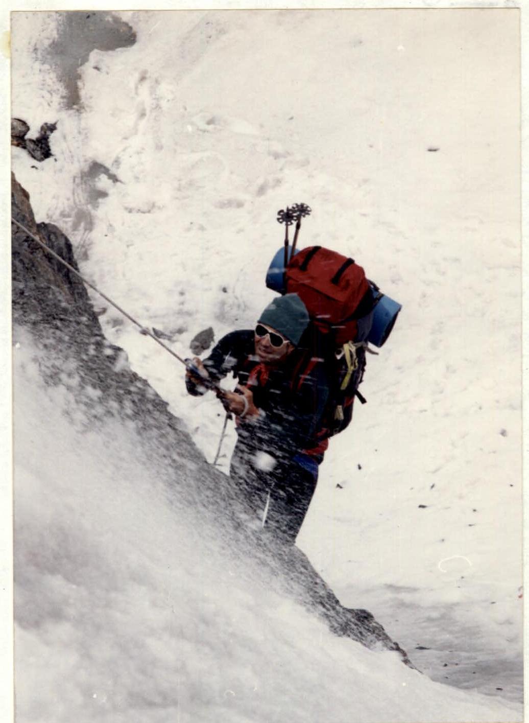
Photo 4. Section R2–R3.
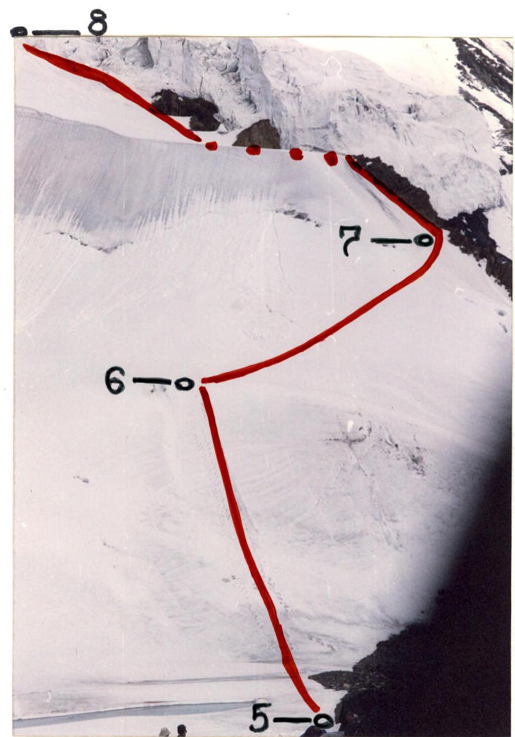
 Photo 5. Section R5–R8.
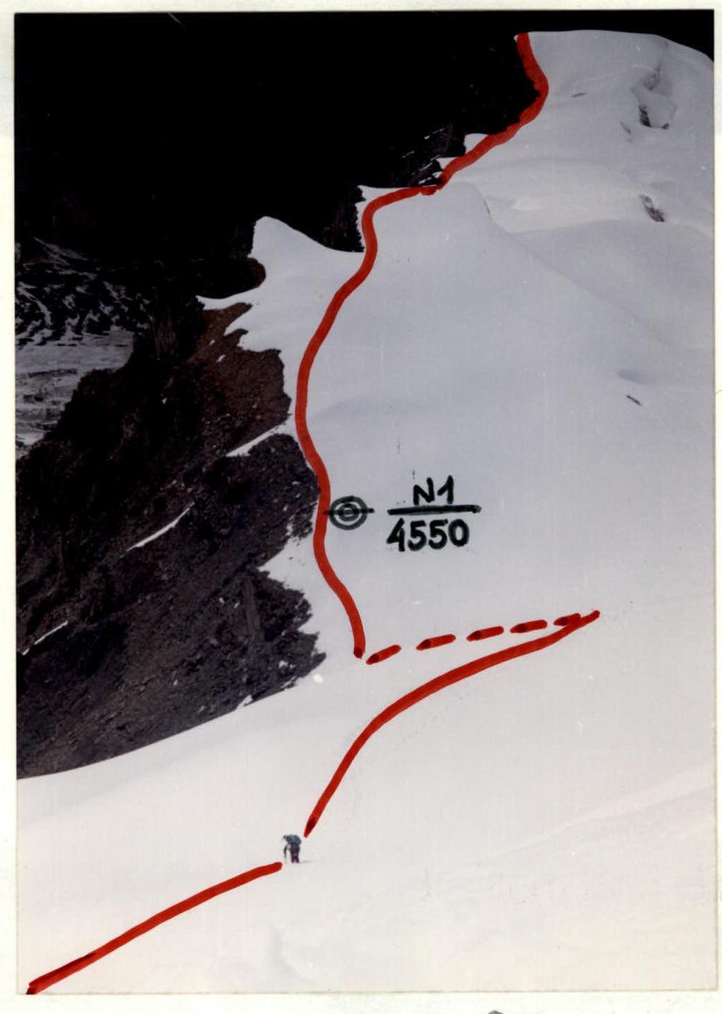
Photo 7. Section R3–R8.
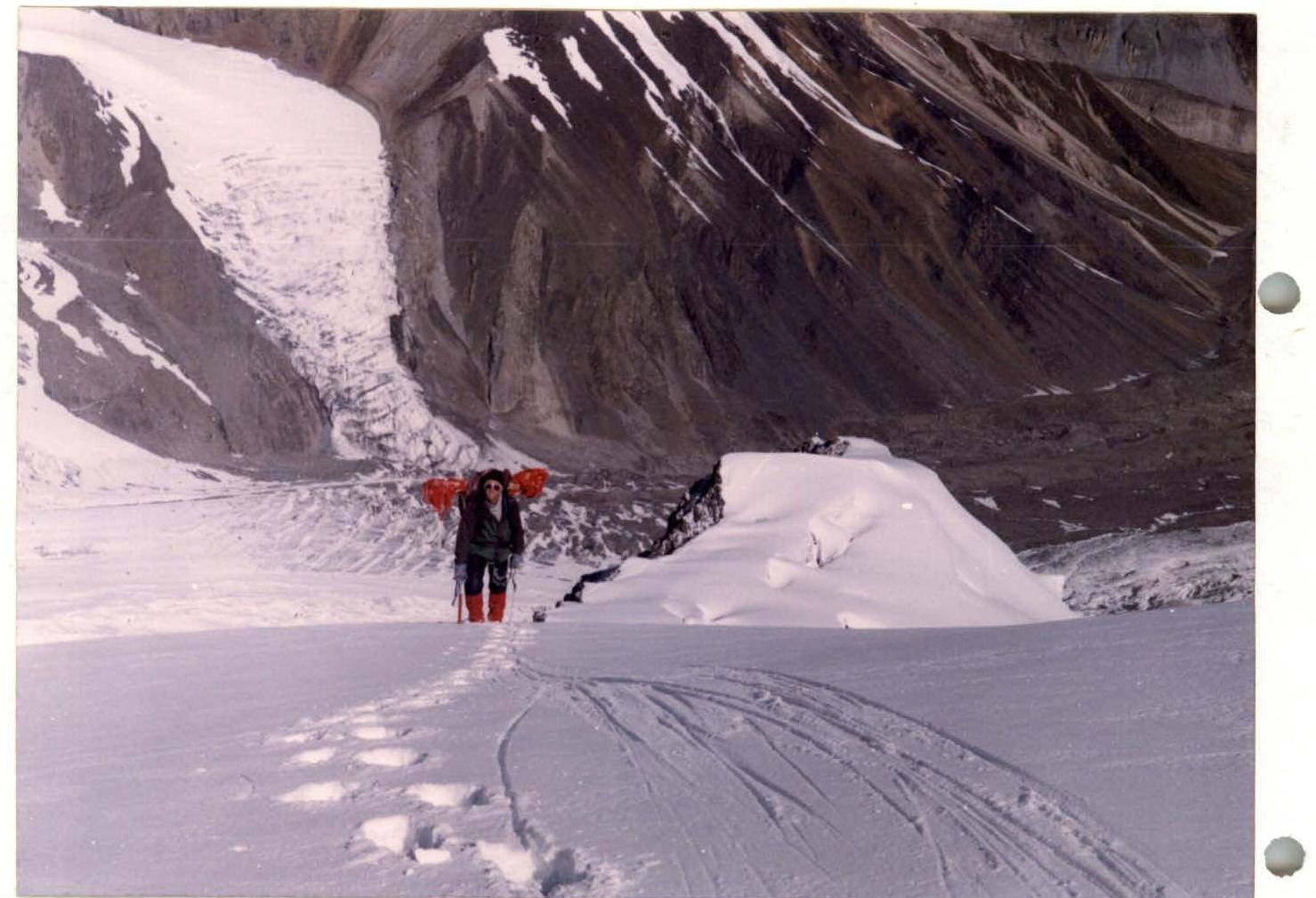
Photo 6. Section R6.
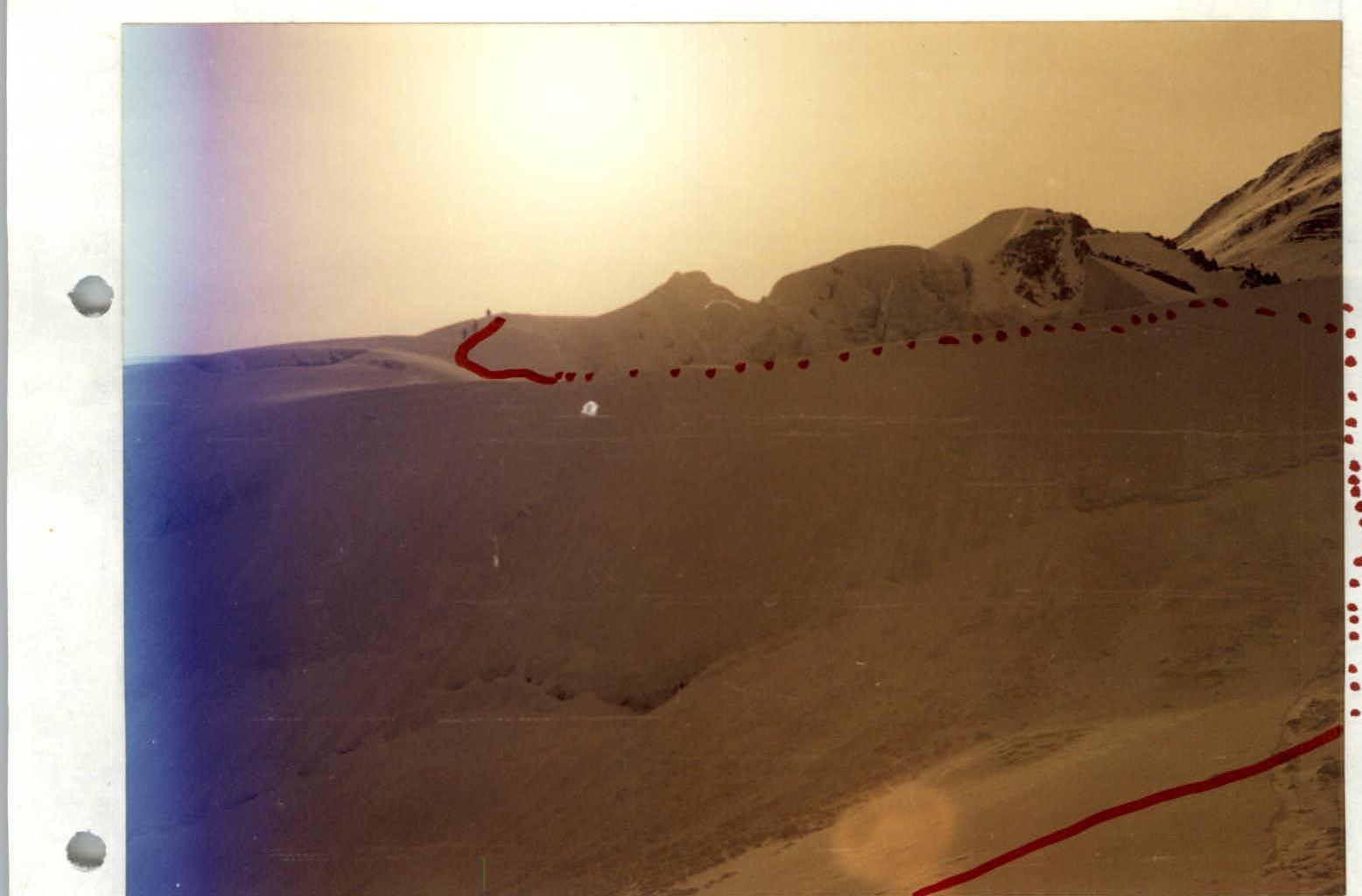
Photo 8. Section R6–R10.
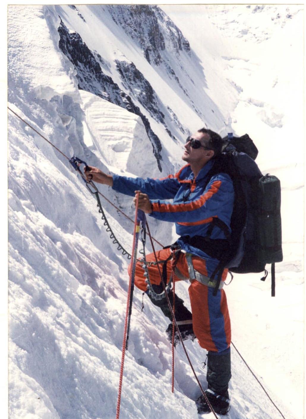
Photo 9. Section R18–R19.